
Torale – Vernazzano – Cima di Tuoro – Pischiello
ShareAverage Reviews
Descrizione
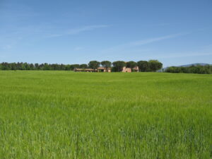
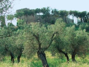
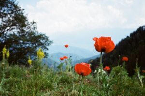
It starts from the Torale cemetery (296 meters) immersed in an olive grove and climbs quietly up to the small village (334 meters) home to a farm. We cross one of the most suitable areas for the production of Trasimeno quality olive oil.
You can observe the two different cultivation techniques used: towards the top you can admire the classic “vase" olive trees typical of our hills, towards the bottom, and we will observe them in the final phase of this itinerary. typical habit of intensive olive growing.
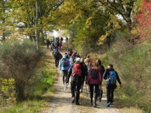
Continue to climb until you arrive, with some changes in the path, up to the cemetery of Vernazzano (437 meters) from where you turn right and take the wide road that climbs towards the Tassinaie. Along this stretch on the left you pass a horse farm and on the right a rather original building that houses a museum of peasant civilization.
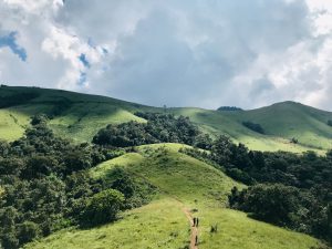
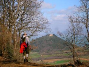
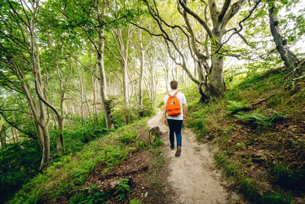
After Tassinaie, turn left and enter a high forest that runs along a ditch until you reach a natural, very bright terrace, where there is a beautiful rectangular-plan farmhouse. Continue between ups and downs until you arrive, paying attention to the signs, at the first houses of the Cima di Tuoro or Gosparini. We are under Mount Castiglione, 802 meters, which is one of the most important reliefs of this hilly area.
We continue to walk reaching the maximum height of this itinerary, 704 m., Then continue straight on taking the road that descends into the woods. After a while, the trees open onto another panoramic terrace where you will find an example of a particularly successful renovation of an old farmhouse (Casa Vaglie).
Now continue crossing a low scrub until you cross the road that comes from Mount Castiglione.
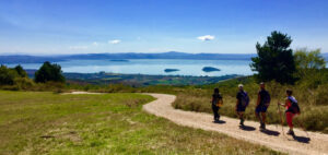
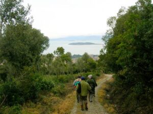
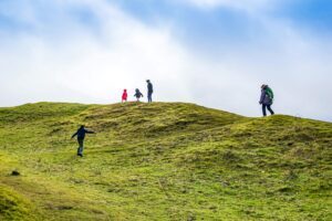
Continue on the right and you will reach a pasture area rich in heather and particularly suggestive for the views towards the Trasimeno basin and the reliefs of the Umbertide area. You arrive at the Renaglia house (596 meters), encountering grazing horses, characterized by the huge rocky outcrop on which it is built.
In short
Starting point: Torale
Time taken: 03:15 h
Length: 13.14 km
Degree of difficulty: medium
Download the itinerary file to be displayed on Google Earth
Download the coordinates of the itinerary for your satellite navigator.