
La Marzolana – Montali – Sant’Arcangelo
ShareAverage Reviews
Descrizione
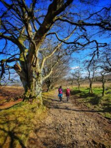
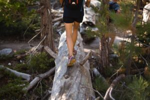
It starts from the last houses of Sant’Arcangelo, from the Borgo Cenaioli area. Go up a dirt road that passes through the olive trees to arrive at a pitch managed by the Coop. La Marzolana and take the Path of Peace that goes up to the edge of the wood.
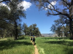
The characteristics of the rich arboreal and shrub vegetation of the Mediterranean type can be immediately observed. In Pianella, on a beautiful clearing with tables and benches you can make a first stop: there is water and a wooden structure used as an information center of the Cooperative where you can find further information and naturalistic finds referring to Monte Marzolana ( 586 m. A.s.l.).
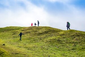
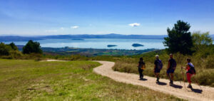
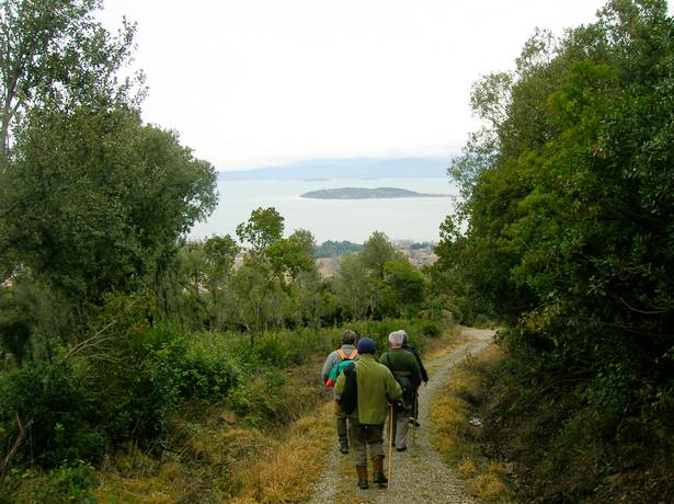
From this observation point you can appreciate a first view from above on Trasimeno Lake and on the Polvese island. Continue along the dirt road that goes into the woods on the right, uphill. In this section the richness of the scrub is even more evident. In fact, we note the strong presence of holm oak with strawberry trees, ornella, broom, rockrose, heather, downy oak and hawthorn.
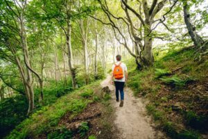
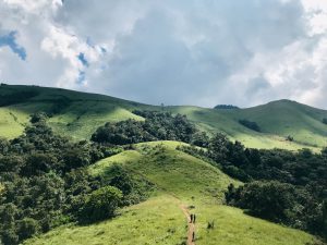
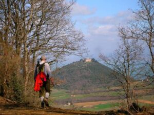
Once past the Source, the wood becomes gradually denser with the presence of holm oak which becomes predominant to then meet very large specimens of strawberry tree upwards. Continue uphill to a long, slightly flat path that leads us to a rest clearing with tables and benches. Continue along the road that goes into the woods. From here you can appreciate glimpses of the Castle of Montalera and the hills of Panicale and Piegaro and the agricultural plain overlooking the lake.
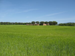
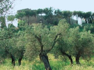
When you leave the wood you are in the immediate vicinity of an agritourism structure well integrated into the landscape. The summit olive grove surrounding the farmhouses is very beautiful. In the distance on the left you can see Agello and the hills towards Perugia and the Apennine reliefs in the background.
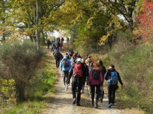
It is necessary to walk along the wood to reach the white road of the Vallicelle that connects Montali to Sant’Arcangelo. In a short time, taking to the left, a pleasant walk mostly downhill brings us back to the starting point. The itinerary is 9,650 km long and takes 2 h 30 min.
In short
- Starting point: Sant´Arcangelo
- Time taken: 02:30 h
- Length: 9.65 km
- Degree of difficulty: medium
Download the itinerary file to be displayed on Google Earth.
Download the coordinates of the itinerary for your satellite navigator.