
Montarale – Greppolischieto
ShareAverage Reviews
Descrizione
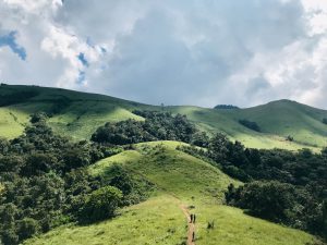
It starts from the Montarale park, reachable through a panoramic road from Piegaro, which is the highest peak around the Trasimeno (853 m.). Take the wide road that heads in a false plane towards Montegiove and Montegabbione. After about 500 m. turn left at the height of an already signposted path that goes into an area sometimes wooded with turkey oak and downy oak.
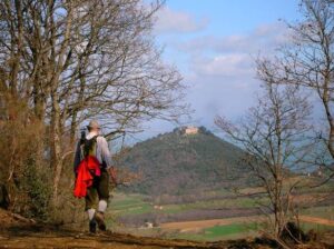
First downhill and then flat, along a panoramic path with a beautiful view of Città della Pieve and Montegabbione and the reliefs between the Amiata and Mount Peglia. Arrived near Montegiove, where with a small detour you can make a stop, take the dirt road that goes towards Greppolischieto.
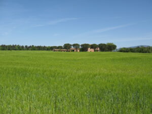
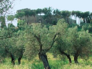
The up and down path in the initial part becomes an uphill with rather sharp hairpin bends in the last stretch. In addition to some beautiful farmhouses, it is worth noting the presence of an imposing dry stone wall.
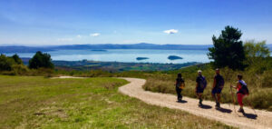
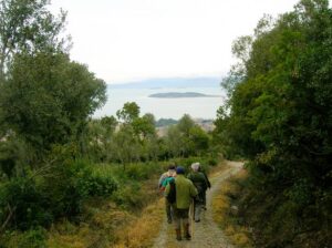
Once in Greppolischieto you can appreciate the beauty of the lively valley that divides us from Montegiove while passing on the other side of the village, after having visited it, panoramic views of Trasimeno Lake open up. From here, turning left, you walk towards the top of Montarale.
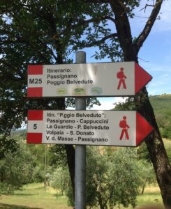
Following the signs, you will cross portions of the woods which at times open onto ever wider panoramas until reaching 851 m. of the cross of Montarale, where we recommend a stop to admire the view over the Trasimeno basin. After another two hundred meters in the pine forest, you reach the parking area of the park, the starting point of the itinerary. The itinerary is 11,430 km long.
In short
Starting point: Montarale Park
Time taken: 03:00 h
Length: 11.43 km
Degree of difficulty: medium
Download the itinerary file to be displayed on Google Earth
Download the coordinates of the itinerary for your satellite navigator.