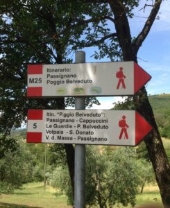

Missiano – Petrarvella – Panicale
ShareAverage Reviews
Descrizione
The starting point of the walk is the parking area of the small Missiano cemetery. Follow the provincial road that connects Missiano to Panicale for a short distance and take a dirt road on the left that climbs.
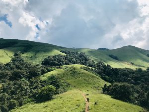
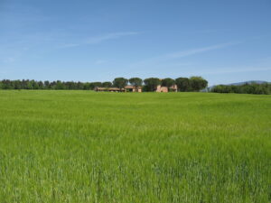
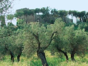
You cross an area full of olive trees and dry stone walls that opens onto the surrounding landscape: the hills of Panicale with Mongiovino and Monte Solare in the background, while in front the village itself appears, with its bell tower, monuments and ancient houses.
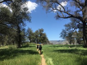
You then enter the woods where there are downy oaks, Turkey oaks, holm oaks and orniths. The shrub is made up of broom, strawberry tree, rock rose, heather, dog rose and privet.
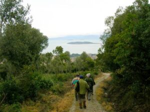
On the left, going up, you can see the Nestore valley with Piegaro and Montarale in the background. Before reaching the top of Mount Petrarvella, 627 m., You cross a panoramic plateau and pass near an abandoned farmhouse located in a dominant position.
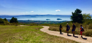
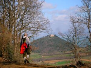
On the left you can see the antennas of Mount Pausillo. On the right the side of the Petrarvella hill and another point of view on Panicale and its surroundings.
The area is uncultivated and is characterized by the presence of a rich shrub made of brambles, brooms and blackthorns. You arrive at the top of Petrarvella, recognizable by the canopy of black pines, along a winding path that takes place in a low and sparse scrub.
In short
Starting point: Missiano
Time taken: 02:20 h
Length: 9.10 km
Degree of difficulty: medium
Download the itinerary file to be displayed on Google Earth