
Sanguineto – Monte Gualandro
ShareAverage Reviews
Descrizione
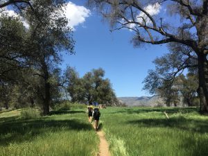
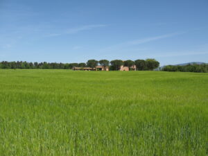
It starts from Sanguineto, a small cluster of houses located on the first rise towards the hills of the valley between Tuoro and Monte Gualandro. Walk along the cypress-lined avenue towards Lake Trasimeno.
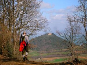
In the locality of Cà di Giano take the road that climbs towards Monte Gualandro (441 m.), At times a trace of a path among the olive trees, paying attention to some crossroads that you meet.
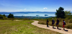
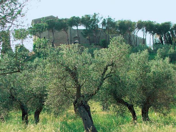
In the last stretch, it runs alongside a terraced olive grove and a mixed forest on the left. Once at the castle we recommend a detour to observe the structure of the fortification, the landscape on Trasimeno Lake and its islands and on the agricultural plain between Terontola and Castiglione del lago. We continue the walk by entering the woods on a path that, on the border between Tuscany and Umbria, will take us northwards towards the Colle dei Termini, continuously oscillating between 400 and 500 meters with the view that gradually opens up towards the Tuscany and the villages of Chianciano and Montepulciano.
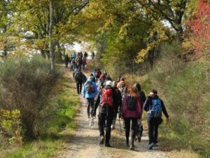
You walk among pines, holm oaks, isolated oaks, junipers, heather and strawberry trees until you reach a crossroads between different paths where you take the one that climbs to the left. We arrive at the highest part of the route and take a very scenic ridge path that takes place between wooded areas with Mediterranean scrub.
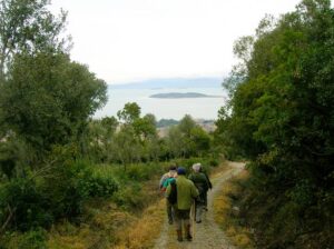
Once you reach a crossroads characterized by a tuft of cypresses and firs, take the path to the right which is sometimes stony and steep which descends towards Sanguineto among the low vegetation consisting mostly of cistus, broom, juniper, holm oak and small oaks.
Download the itinerary file to be displayed on Google Earth
Download the coordinates of the itinerary for your satellite navigator