
La Goga di Magione – Caligiana
ShareAverage Reviews
Descrizione
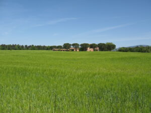
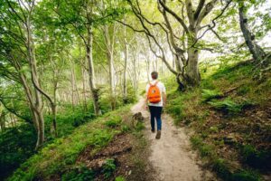
The starting point of this itinerary is represented by the junction for La Goga which can be easily reached from Magione. Follow a stretch of dirt road on the plain between cultivated fields to turn right, pass over the Formanuova ditch and begin to climb between ancient agglomerations of farm houses partly converted into agritourism structures. Before entering the mixed forest there are beautiful views towards Colpiccione and Castel Rigone.
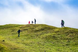
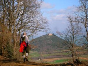
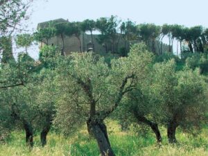
Through centuries-old olive trees you touch abandoned farmhouses to reach the top of Mount Bparmi. From this panoramic point you can see the hills between Perugia, Città della Pieve and Magione with Monte Penna, Montali, Monte Solare and Monte Arale. Descend on the other side in the direction of Monte Tezio and Monte Acuto. Along the way you can recognize the trees - downy oak and turkey oak - typical of the woods of this area and the shrubs that make up the undergrowth.
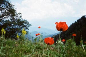
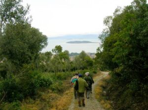
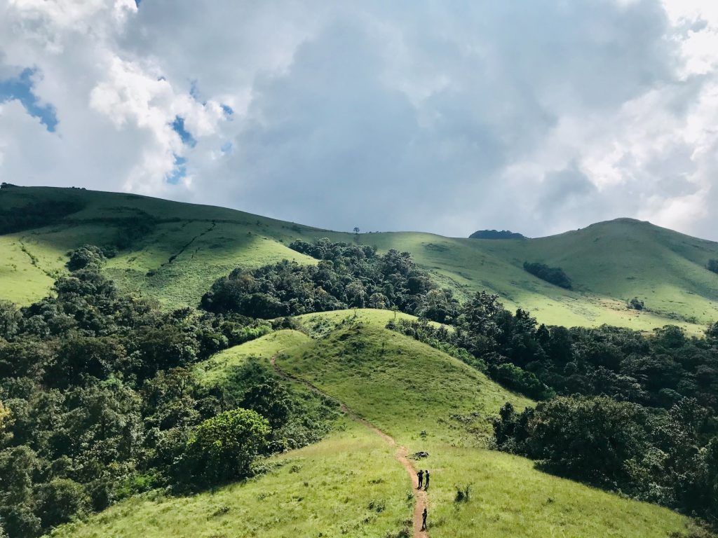
You continue enjoying wide views, with a wealth of broom blooms between May and June, until you reach the ancient cemetery and then the small nucleus of medieval origins of Caligiana.
From there you go back down towards the valley of the Formanuova torrent and then towards the Goga first crossing portions of coppice in which you can recognize in addition to the downy oak, the dominant species, the juniper, the cistus, the broom and the heather then large tracts of white roads of the valley floor that cross cultivated fields and characteristic ancient farms.
In short
Starting point: Magione (La Goga junction)
Time taken: 03:00 h
Length: 11.61 km
Degree of difficulty: medium
Download the itinerary file to be displayed on Google Earth.
Download the coordinates of the itinerary for your satellite navigator.