
Montemelino – Monte Penna – Montesperello
ShareAverage Reviews
Descrizione
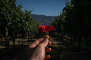
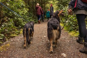
The starting point of the itinerary is the square in front of the church of Montemelino. Retracing your steps a little, you take an uphill dirt road that goes into the scrub consisting mainly of holm oak, strawberry tree, broom, juniper, heather, viburnum and cistus.
The bottom of the track appears rocky and the climb leads to Monte Penna. At the top you cross a ridge path and turn left towards the aedicule with a cross that can be glimpsed a little higher up.
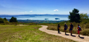
Once at the cross, you can make a short stop to appreciate the landscapes towards Perugia and Trasimeno.
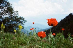
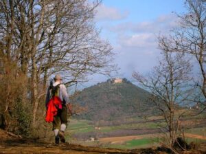
Continue straight along the ridge road towards the summit of Mount Castiglionaccio, entering a low scrub consisting mostly of strawberry trees, rock roses, downy oaks and heather. Turn left along a downhill road along the eastern side of Mount Castiglionaccio (523 meters).
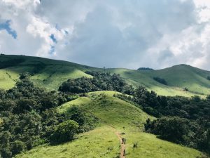
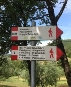
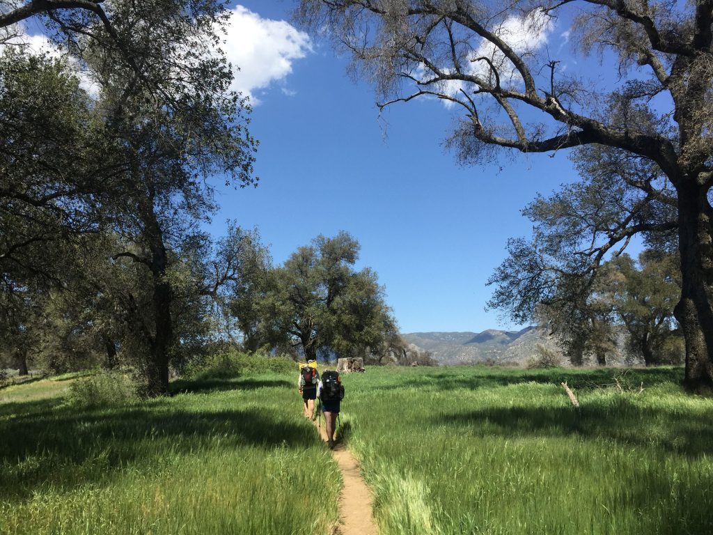
The path, particularly panoramic, offers panoramic views of the Val Lupina, the Mugnano valley, Agello and Montali and the woods of the Marzolana. Continue, observing the signs, bypassing the relief and heading towards the lake, which at a certain point begins to be glimpsed among the vegetation.
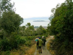
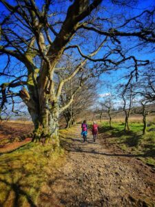
You cross various stretches of wood where you can see the holly first, then strawberry trees and finally Turkey oaks. Going down decisively you come to some scattered houses on the edge of the wood. From there, take the path that on the right runs along the side of the hill until you reach a panoramic point from where you can observe the village of San Savino and Lake Trasimeno.
Continuing on the right you take a very bumpy and sometimes rocky road that climbs steeply up the side of the hill taking you to Podere Penna and then to the top of Monte Penna (496 meters). Continue along a ridge path and cross the shrine with the cross again from which you can return to the starting point.
Another option is to continue straight along a ridge path that leads downhill to the junction for the water conservatories and then to Montesperello where a short stop is recommended.
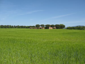
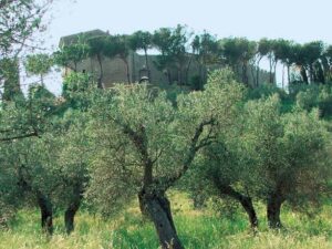
Then take the asphalted road downhill and follow it for about 400 meters. Turn right onto a dirt road which is characterized on the upstream side by the presence of mixed wood while olive groves and cultivated areas are located downstream.
Continue through the woods to reach Montemelino, the starting point of the walk which is 13,520 km long.
In short
Starting point: Montemelino
Time taken: 03:20 h
Length: 13.52 km
Degree of difficulty: medium
Download the coordinates of the itinerary for your satellite navigator