Torale – Pischiello – Poggio Bandito – Convento dei Cappuccini
ShareAverage Reviews
Descrizione
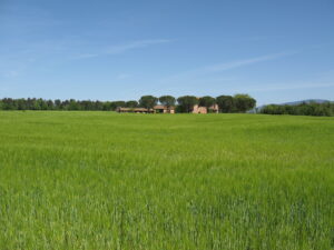
It starts from the church of SS. Cosma e Damiano di Torale (334 m) and take the gravel road towards the cemetery that leads to Viale del Pischiello. At the height of a votive shrine, and at the cypress avenue, turn left going up towards the Pischiello Farm. The monumental cypresses of the avenue, about 3 km long in total, will accompany us to the intersection before the buildings that make up the center of the Pischiello property that belonged to Count Sorbello (342 m altitude).
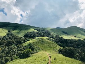
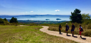
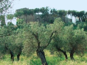
Turn left onto a gravel road that climbs rapidly passing through Casa Renaglia until you reach the Cima del Poggio del Bandito (610 meters), first crossing ancient olive groves then stretches of more or less dense wood with specimens of pine, oak and the typical shrub floor of gorse, juniper, rock rose and heather. At the top, take the ridge road that goes to the right to Le Guardie with great views towards Mount Tezio and Mount Acuto and of course the Trasimeno. You cross pastures and a stretch of pine forest.
At the height of the pine forest, leave itinerary no. 50 and take a path on the right that winds through the pines and continues into the woods. In this stretch of the path you can see the strong presence of heather and its seasonal blooms.
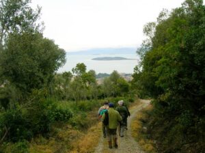
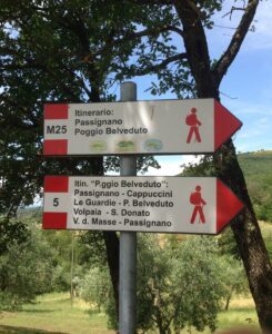
Following the signs you will arrive at the Capuchin convent. The dirt road that runs alongside the convent leads us to the entrance of a path that first crosses an olive grove with centuries-old specimens, where there are horses in the wild, then a portion of scrub that leads us to some houses surrounded by greenery.
From here you take a shady road that leads to the Villa del Pischiello. We cross the area of the Villa and its numerous outbuildings to find a stretch of the road already traveled at the beginning. From here in a short time you arrive at the Torale.
In short
Starting point:Torale
Time taken: 03:20 h
Length: 13.72 km
Degree of difficulty: medium
Download the itinerary file to be displayed on Google Earth
Download the coordinates of the itinerary for your satellite navigator.


