Mongiovino – Buca del Calcinaro
ShareAverage Reviews
Descrizione
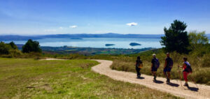
It starts from the Mongiovino cemetery, located near the Sanctuary, and continues along the dirt road that heads towards the hill where you can see the old Mongiovino village.
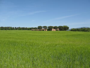
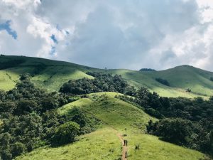
You cross, keeping the half coast in the direction of Buca del Calcinaro, a hilly area characterized by the presence of ancient farmhouses, partly in ruins, many olive groves, vineyards, cultivated land and portions of wood.
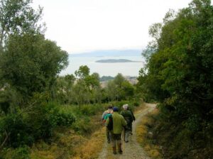
You continue losing altitude crossing an area full of ditches, crossroads and crossroads where you need to be very careful and follow the signs then you begin to climb through a dense wood of downy oak, heather, viburnum, privet, turkey oak.
Walking along pleasant paths in all seasons you arrive at Passo Buca del Calcinaro (395 meters above sea level) which takes its name from a small furnace, of which the ruins are still present, which was used to cook lime.
Keep right and continue in the direction of Muserale until you reach the lay-by of the same name equipped with a shed for horses, after passing near the word Scornabecco and having the Villa di Monte Solare in front of you. Climbing up and down suddenly, in a mixed forest particularly rich in wild asparagus, you return to Buca del Calcinaro.
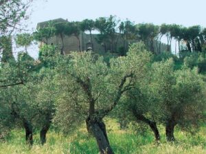
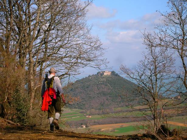
Take the dirt road that heads towards Panicale and then turn towards the characteristic peak with a plume of trees of Monte Civitella (498 meters above sea level). Continue straight along a very scenic dirt road – Valle del Nestore, Piegaro, Montarale, Petrarvella, Panicale – among the olive trees; passing by Casale Lombo it takes us to the old village of Mongiovino (490 meters above sea level) where a short stop is recommended.
At the votive shrine, take the paved road that descends to Vocabolo Paolinami where you turn left onto a dirt path that leads back to the Sanctuary of the Madonna di Mongiovino.
In short
Starting point: Mongiovino
Time taken: 02:40 h
Length: 10.76 km
Degree of difficulty: medium
Download the itinerary file to be displayed on Google Earth.
Download the coordinates of the itinerary for your satellite navigator.


