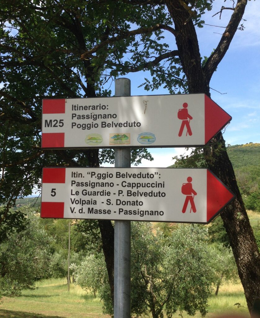

Passignano – Poggio Belveduto
ShareAverage Reviews
Descrizione
The starting point of this itinerary is represented by the central square of Passignano, near the Town Hall. We recommend a walk in the center and take the steps leading to the historic village.
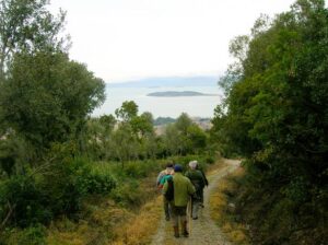
You leave the village upwards by taking Route 50 and then, following the signs, a dirt road that goes towards Le Masse. The walk immediately shows great views towards the lake.
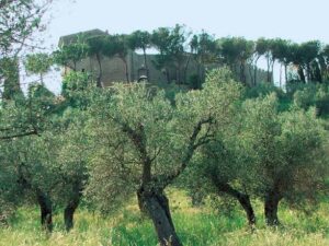
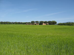
Arriving in the agglomeration of the Masse, with the old pink colored villa and the church, continue straight along the main villa on a slight descent and cross fields on the plain and slightly uphill to reach the houses in the Cerqueto area among the olive trees.
From there you continue until you reach a small group of houses around the beautiful church of San Donato, in a strategic and panoramic position on Trasimeno Lake. A stop for a short visit is recommended. Go back a little, skirt some farmhouses and arrive at the manor house in the word La Martinella adorned with remarkable tree specimens and then to the wide gravel road with cypress avenue.
From here you continue climbing into the woods and, after having completed a few hairpin bends, skirt a first farmhouse on the right and arrive at a second renovated farmhouse that operates as a restaurant, in a panoramic position overlooking the lake.
Continue uphill along the dirt road always adorned on the right by an avenue of cypresses which, after a few bends in the woods, meets the Trecine - La Cima road at the top, at Torre Civitella (607 m).
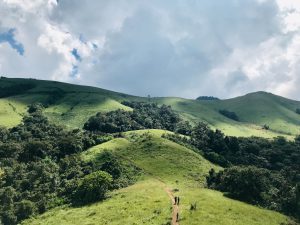
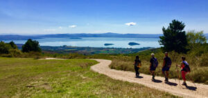
The wide ridge road allows you to admire one of the most beautiful views across the Trasimeno area. Then you begin to descend having in front of the characteristic conical toppo where the ruins of Monte Ruffiano are located.
Crossing the areas of San Donato, La Martinella, Cerqueto and Le Masse partly on new routes and partly on sections already made, you return to Passignano. The itinerary is 11,620 km long.
In short
Starting point: Passignano
Time taken: 02:50 h
Length: 11.62 km
Degree of difficulty: medium
Download the itinerary file to be displayed on Google Earth
Download the coordinates of the itinerary for your satellite navigator.