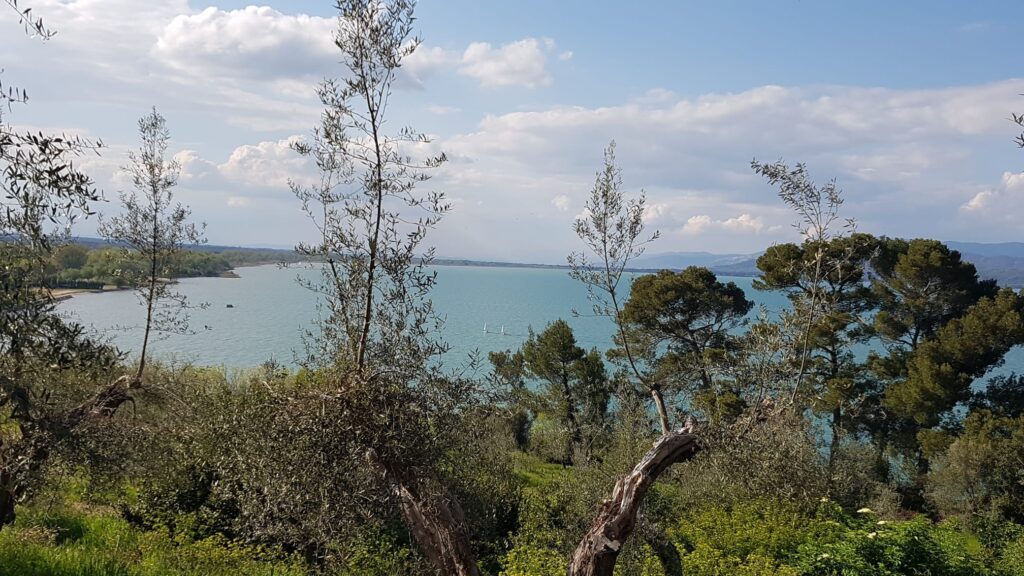
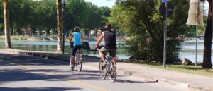
The itinerary starts from the area of the former airport of Castiglione del Lago and develops in its initial part in the heart of a naturalistic area characterized by the presence of three artificial basins of shallow waters, created as part of a project financed by the EEC with the purpose of favoring the stopping and nesting of herons (herons) along the shores of Trasimeno Lake. Leaving the lakes, we continue among the reeds and a dense hydrophilic-riparian vegetation predominantly of willows and poplars, crossing a series of wooden walkways that cross as many channels. You then move away from the lake taking the road to Ferretto and then following the Petrignano del Lago sign, crossing wooded formations of rare beauty, residues of the great Quaternary plain woods.
Paying attention to the crossroads and various passages, descend into the valley of the Chiana canal passing upstream of some recently planted vineyards and take the asphalted road towards Binami (overlooking Lake Montepulciano) and then towards Mugnanesi.
Continue to Porto, in a characteristic landscape of low, bright hills that connect Umbria to Tuscany. You reach the lake of Chiusi and then, between climbs and descents that are not too hard, alternating between different types of roads, pass in the immediate vicinity of the Church of S. Cristoforo in Badia, then arrive at the word Madonna del Vitellino where you take the direction of Castiglione del Lago, to return to the starting point.
In short:
Starting point: Castiglione del Lago (former airport)
Time taken: 03:00 h
Difference in altitude: 350 m
Length: 46.70 km
Degree of difficulty: medium
Download the itinerary file to be displayed on Google Earth.