
Great Ring of Trasimeno
ShareAverage Reviews
Descrizione
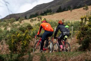
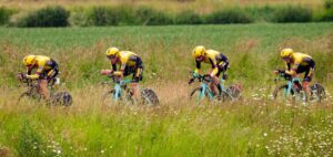
The route of this ring around the lake that will introduce us to the whole territory from original points of view, crossing picturesque villages, countryside and stretches of coast, develops for long stretches along the cycle path, partly on a mixed route.
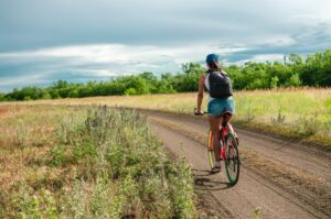
The route, a total of 71 km long, starts from Castiglione del Lago, in the area of the former airport, and can be traveled without too much effort, making stops in the villages, in the refreshment areas and in the numerous scenic places that meet.
The landscape is varied, different stories even if belonging to a microcosm that unites them all and makes them recognizable, many interesting encounters that can be made suspended between history and nature.
Between Castiglione del Lago and Tuoro, moving from the promontory on which the ancient fortress stands to go towards the north coast closed by high wooded hills, you pass through a renaturalized area of high naturalistic and environmental interest.
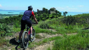
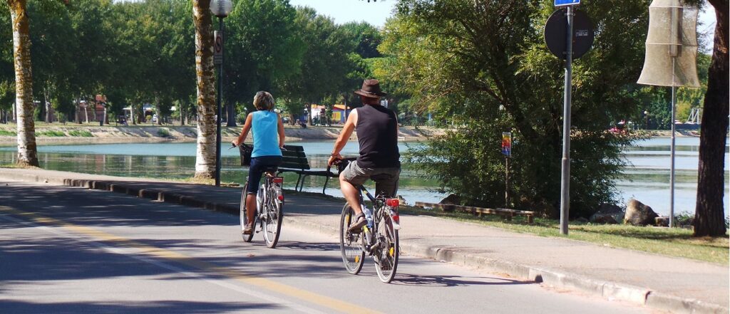
Then you cross Borghetto and walk along a stretch where you touch the shores of the lake until you almost touch it. Then continue towards the Lido di Tuoro and Passignano, alternating with the beautiful cycle path only short stretches on a mixed path that allow you to cross the inhabited centers.
From Passignano to Torricella time passes quickly and without noticing, crossing the territory of Magione, you travel through a beautiful area between the lake and low hills full of olive trees and ancient farmhouses. You touch the small equipped lido of Albaia before reaching Monte del Lago and shortly after the Castle of Zocco where you return to the Provincial road.
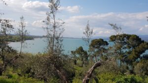
San Feliciano, an ancient fishing village, deserves a stop and from there we leave for the Oasis of the Valley (a nature center managed by Legambiente where it is possible to observe the lake ecosystem in its many aspects), and then follow the next intersection, the indication for Castiglione del Lago-Chiusi. Going along the panoramic state road, you cross the village of Sant’Arcangelo, having the woods of Montebuono and Marzolana on the left and the enchanting lake scenery on the right, with islands that seemed to fly, between water and sky that merge.
Once at the crossroads for Casalini, the decision is made whether to focus directly on Castiglione del Lago, or widen passing through Casalini, Macchie and Sanfatucchio, small villages of agricultural origin built on minimal hill rises. Whatever the choice, the tour will have been able to tell us a circular story, made up of water, animals, earth, and men, a rewarding experience that will accompany and give rhythm, with its memories and references, to the rest of the journey.
In short:
- Starting point: Castiglione del Lago (former airport)
- Time taken: 04:00 h
- Difference in altitude: 160 m
- Length: 71.60 km
- Degree of difficulty: difficult
Download the itinerary file to be displayed on Google Earth.
Download the coordinates of the itinerary for your satellite navigator.