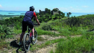
It starts from the lower part of Magione at the intersection for Castel Rigone and first takes the asphalted road and then the long straight dirt road that crosses La Goga and the valley of the Formanuova stream. After lingering along the valley, you start to climb towards Caligiana for a path with a bottom that is often rocky but can be pedaled, except for some short stretches, where it may happen to momentarily get off the bike. By carefully dosing the energies, we arrive at the small village of Caligiana, recently renovated, after which we take the municipal white road of Borgogiglione, in correspondence with a small votive shrine and two pyramidal cypresses.
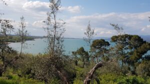
Go up to the left along the ridge that connects Col di Maggio to Poggio Mortorio and then after a few passages you reach the Mantignana-Castel Rigone paved road. The climb to be faced in the next 5 km is not very demanding and allows you to admire the surrounding landscape, characterized, in the foreground by the massif of Mount Tezio to the east, by the holm oak woods of Mount Malbe and Trinità to the south and by the lake. Trasimeno to the west. Then take the road that goes to Preggio-Umbertide to cross the Colle Campana.
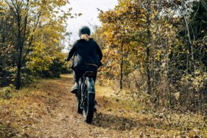
As soon as you reach the top of the hills, you leave the paved road for the dirt road that goes to Pugnanella. From here begins a very steep descent for long stretches but with the fund recently restored and well compacted, crossing forests of Turkey oak and oak extended as far as the eye can see. Paying attention to some passages you will arrive at the Pianetello stream.
The stretch that follows is very fun, as you have to face a series of fords, five to be exact, necessary to cross the cool and clear waters of the streams that descend from the surrounding hills, remaining in the middle of the woods. Leaving this area, cross the Colorso stream and follow it for a while immersed in dense vegetation. Finally you arrive at the road to Lisciano Niccone and here you take the direction of Passignano.
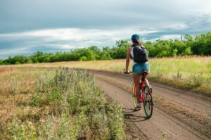
You go down to Pian di Marte and then continue, without interruptions, towards Trecine climbing the beautiful and quiet asphalted road between meadows, pastures and deciduous woods. Once at the pass, turn right and begin to descend towards Lake Trasimeno. After a while, a dirt road is intercepted on the left which, following the signs, will bring us back to Magione passing through the cemetery.
In short:
Starting point: Magione (crossroads for C. Rigone)
Time taken: 03:00 h
Difference in altitude: 840 m
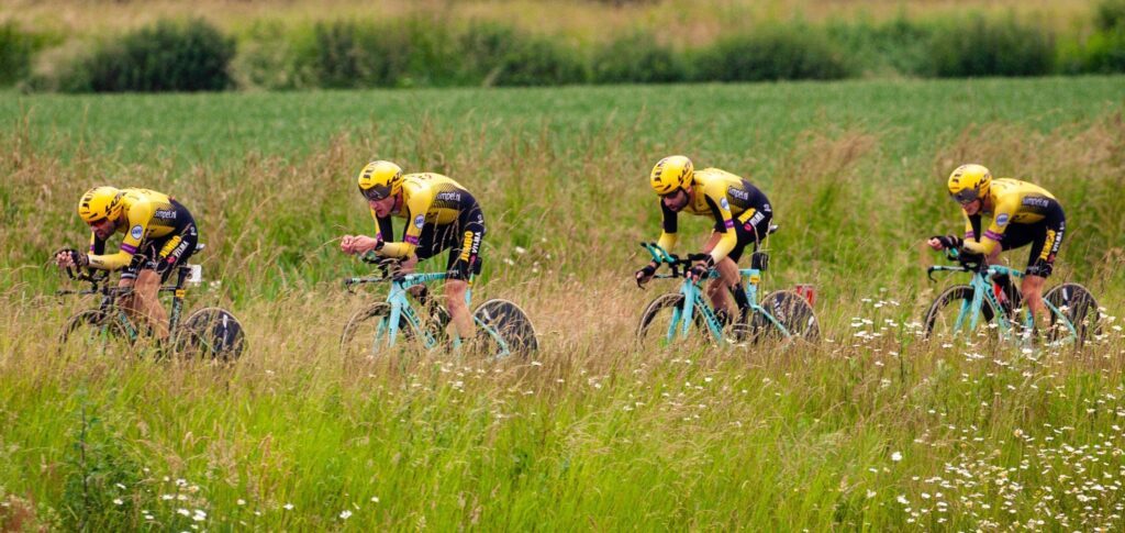
Degree of difficulty: difficult
Download the itinerary file to be displayed on Google Earth.