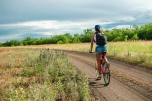
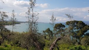
The itinerary begins near the intersection that starts from Magione for Monte Melino-Monte Sperello. You start by climbing in the direction of Magione to continue in the direction of the small panoramic village of Montecolognola and taking the downhill road that goes to Monte del Lago, turn left onto a dirt road, which through olive groves and sweeping views towards the lake leads to the area. of Montalcino. Crossing a particularly beautiful area from a landscape point of view, you descend towards San Savino and in particular to the Naturalistic Oasis of the Valley, a Nature Center managed by Legambiente where it is possible to observe the lake ecosystem in its many aspects.
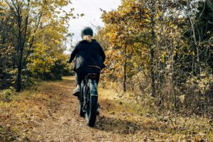
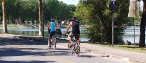
Follow the paved road for a while and take the dirt road on the right, home to the Trasimeno cycle path, which runs in the immediate vicinity of the lake. Go up to the crossroads for Mugnano to head slightly uphill towards Monte Buono. After having crossed the hill, you leave the asphalt taking the dirt road on the left that crosses a characteristic cypress-lined avenue that leads to the small church of Monte Buono and then to a beautiful dirt road that develops through forests of oak, holm oaks and strawberry trees. The course of this part of the route is varied with some slightly more challenging stretches with the final part on a mainly rocky and bumpy ground.
At the end of the climb, continue along the panoramic ridge, heading north-east towards the wooded summit of Monte Penna, then, having reached the top, descend for a short distance, bending sharply to the right just out of the woods, to re-enter immediately afterwards and go down a fun path up to the dirt road to Monte Sperello.
You pass the cemetery and the path, at times engulfed by dense vegetation, is pleasant and easy to pedal, despite the width being reduced in some places to just over half a meter. Paying attention to some intersections you will arrive, crossing a beautiful holm oak with a tall trunk, in Montemelino where the Sanctuary of the Madonna of Lourdes is easily recognizable. Taking the road in the woods that descends into Vallupina, you enter the paved road that leads to Magione in a short time.
In short:
Starting point: Magione (junction for Monte Sperello)
Time taken: 02:30 h
Difference in altitude: 480 m
Length: 31.90 km
Degree of difficulty: medium
Download the itinerary file to be displayed on Google Earth.