Castel Rigone – Torre Fiume
ShareAverage Reviews
Descrizione
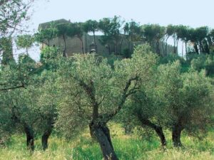
Climb up to the center of Castel Rigone and start from the central square, heading towards the walls to the west, crossing the streets of the village. Go along the belvedere and descend towards Rigonella.
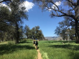
From there you descend along a path that skims pastures and a scrub made up mostly of Turkey oak, downy oak, juniper, strawberry tree and broom. You arrive at the Poggio agglomeration which you leave on the right continuing downhill until you cross the state road Castel Rigone – Lisciano Niccone.
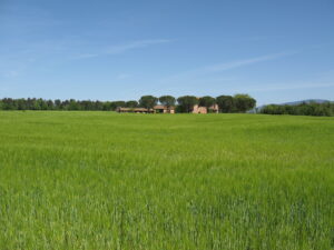
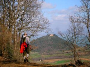
Cross it and follow the signs and continue along the road that delimits the tree-lined side of the hill separating it from the cultivated fields and pastures of Pian di Marte. Turn left and from here begins the climb to the Torre di Fiume (424 m. Above sea level) which can be reached after a few hairpin bends.
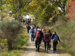
After a brief stop near the ancient tower, take the path on the left that climbs up and enters the Turkey oak and hornbeam wood. Towards the top, around the area of Torre Civitella, there are pastures often interrupted by broom shrubs of the charcoal burners with heather and rock cysts.
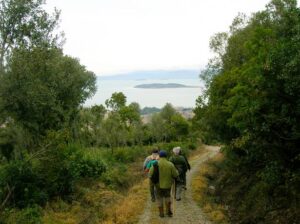
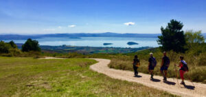
Take the wide dirt road on the ridge going to the left, cross the town of Trecine, enjoying sweeping views of the lake and the hills that surround it. Here we resume the asphalted road shaded by ancient pines that takes us back to Castel Rigone, with a short variant on the ground that passes downstream, in the Galluzzo area.
In short:
Starting point: Castel Rigone
Time taken: 03:40 h
Length: 14.68 km
Degree of difficulty: medium
Download the itinerary file to be displayed on Google Earth.
KML file
Download the coordinates of the itinerary for your satellite navigator.


